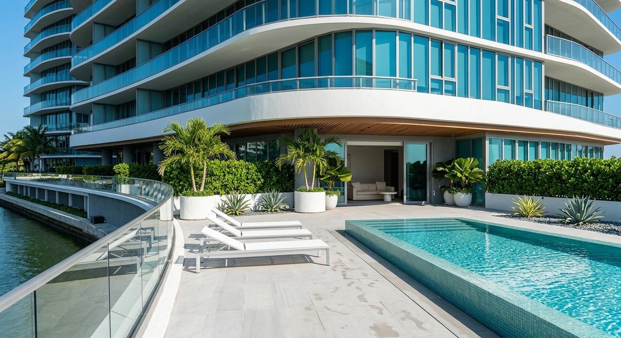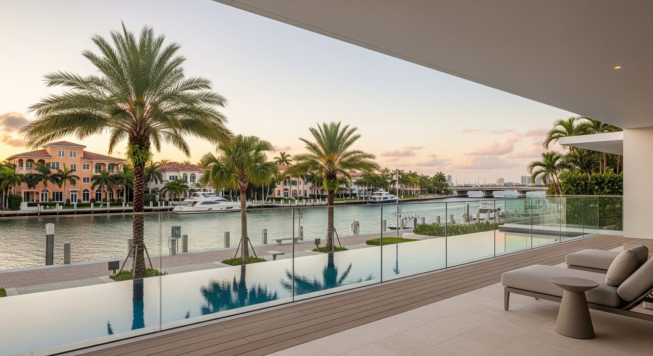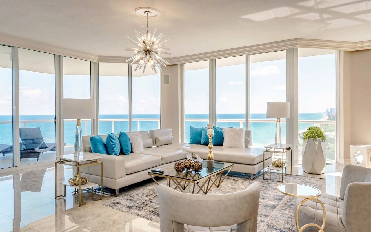
Thinking about a Rio Vista waterfront home because you love the idea of fast ocean access and docking at your own backyard? That vision is real here, but a few dockage details can make or break your daily boating. You want to avoid surprises like a mast that will not clear the bridge, a canal that is too shallow at low tide, or a dock that cannot legally fit your boat.
This guide gives you the essentials on bridge clearances, canal depths, dock projection rules, permits, and seawall standards in Rio Vista. You will learn what to check, when to ask for proof, and how to plan your route to open water. Let’s dive in.
Why Rio Vista appeals to boaters
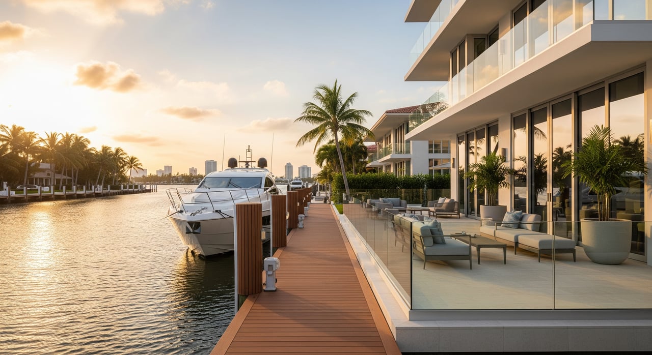
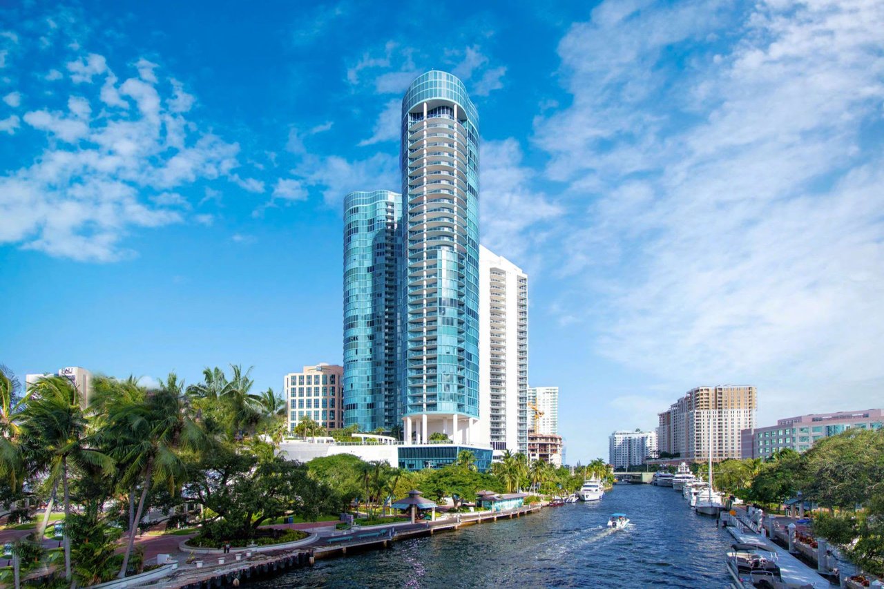
You sit near the New River and Intracoastal with a short run to the ocean through Port Everglades. Many buyers choose Rio Vista for exactly that reason. As local boating guides note, the 17th Street Causeway is the last crossing before the inlet and a defining factor for larger vessels with bridge and access details explained here.
The inlet is close in practical terms. Using mapped coordinates, the straight-line distance from the isles to the Port Everglades harbor area is about 1 to 2 nautical miles, roughly 1.1 nautical miles by one reference measure. This is a straight-line estimate, not a steered route, but it helps you gauge how quickly you can reach deep water from the Rio Vista Isles area.
Bridge clearance at 17th Street Causeway
Published clearance and schedule
The SE 17th Street Causeway (Clay E. Shaw / Brooks Memorial) has a published closed-position vertical clearance of about 55 feet at mean high water. It operates on a set opening schedule, commonly at the hour and half-hour in normal conditions. The Coast Guard sometimes tests temporary deviations, so you should confirm the current Local Notice to Mariners and the bridge’s operating details before you go. Bridge tenders monitor VHF, often Channel 9 in this corridor. Review the current federal notice for the span to plan your timing using the most recent rulemaking and schedule updates.
Air-draft math and tidal datum
Match your vessel’s measured air-draft to the bridge’s closed clearance. Air-draft is the true height from waterline to the highest fixed point on your boat. The published clearance is tied to a tidal datum, usually mean high water for closed-span figures. That means your actual passing room can change with tide stage. If you are close to the limit, build in a margin, time your passage, or plan for an opening.
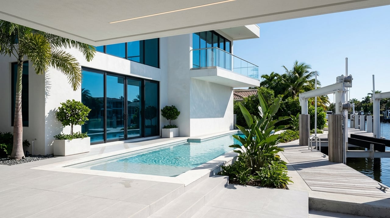
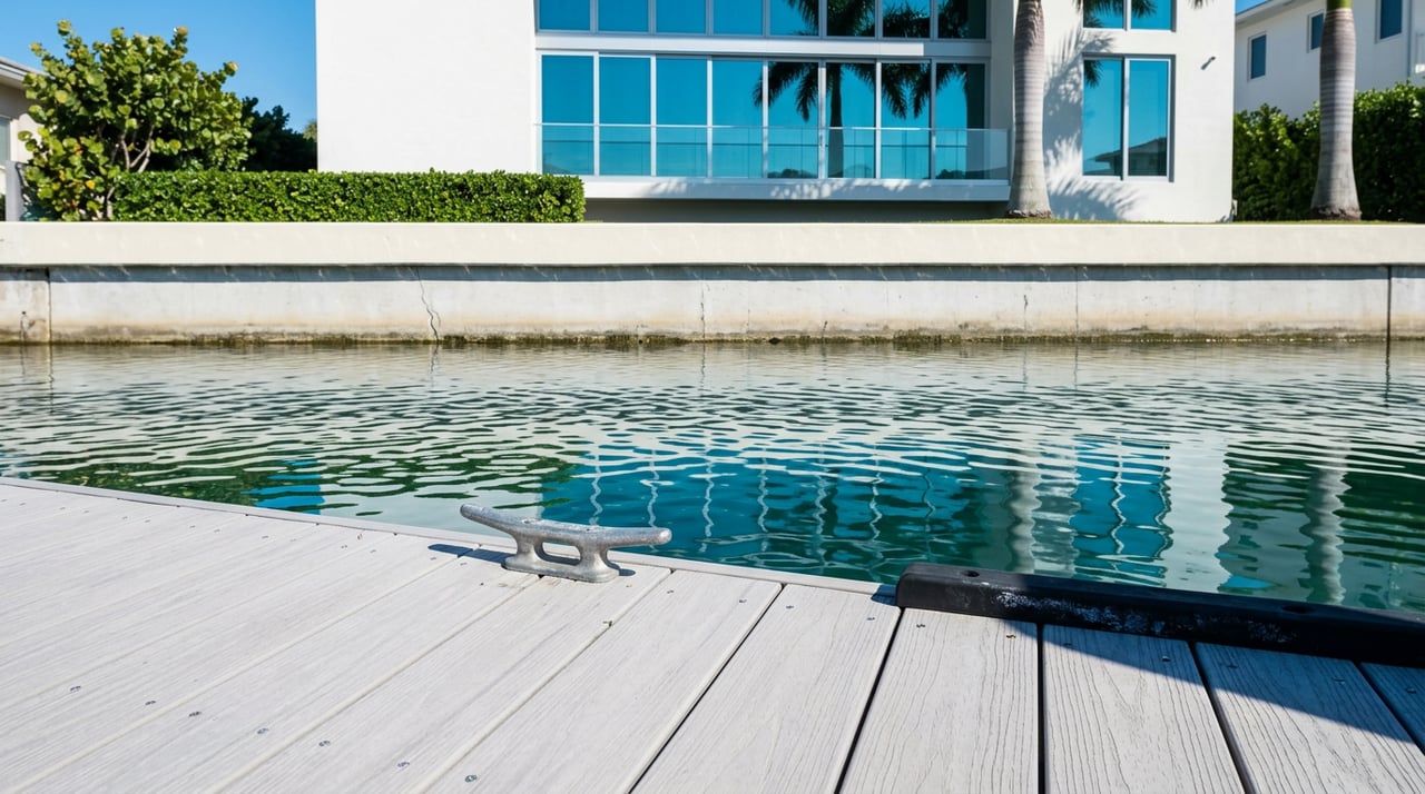
Depths and tides at your dock
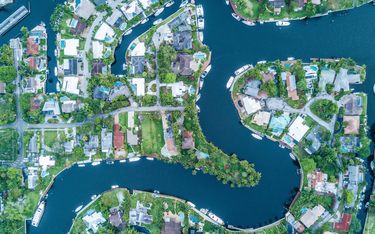
Typical Rio Vista canal depths
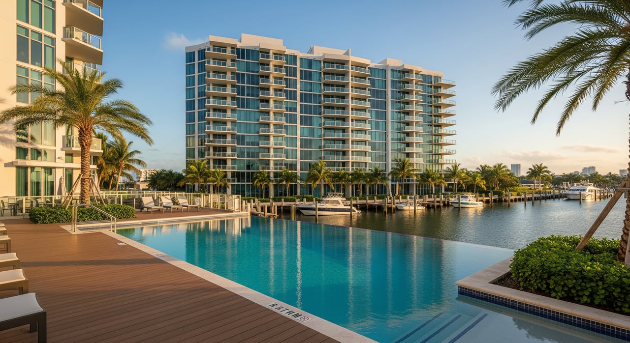
Rio Vista canals are generally shallower than the Port Everglades channel. Neighborhood-level summaries point to many canals in the 4 to 6 foot range near seawalls, with deeper cuts in select sections. Depths vary block by block and shift over time. Do not rely on a single number from a listing without context. Learn more about these local depth patterns and their practical effect on mooring and setbacks from a regional dockage overview.
Use an MLLW survey
Depths in permits, charts, and surveys are tied to tidal datums. Around Fort Lauderdale, daily tide ranges can swing by a couple of feet between low and high water. Always request a recent bathymetric survey referenced to mean lower low water so you can compare it to your boat’s draft and a safe clearance. Review local benchmark information to understand the tidal range in this area using NOAA’s station data, and confirm survey references with official bathymetric sources for datum alignment.
Dock projection and the 30% rule
Fort Lauderdale limits how far boats and docks can extend into a canal. The city’s ordinance states that boats moored to a mooring structure cannot extend more than 30 percent of the canal or waterway width, measured from the recorded property line. Other code provisions limit how far a dock can project from the seawall or property line. These rules control the practical maximum length you can keep at a private dock, especially on narrower canals. Review the code language and confirm the measured canal width the city uses for your lot in the Fort Lauderdale municipal code.
Turning room and neighbor fit
Legal projection is only half the story. You also need enough turning basin and clear channel width to maneuver without crowding neighbors or blocking traffic. Many Rio Vista isles measure in the 100 to 140 foot range canal to canal, while some inner runs are narrower. A vessel that is legal on paper can still be impractical if you cannot turn or if neighbors also project far into the channel. Ask for the city’s recorded canal width at your cross-section and consider how adjacent boats and piles affect real-world movement.
Dock types and vessel fit
Not every dock layout works for every hull. Finger piers and T-heads create different tie-up options, and pile-supported fixed docks function differently from floating systems. Boat lifts and davits add weight and clearance requirements, and they can be treated differently in permits than open-water slips. If you plan to add or modify a lift, confirm whether your project qualifies for state programmatic general permit coverage or needs individual review. You can review single-family dock and lift considerations in the State Programmatic General Permit materials from the U.S. Army Corps of Engineers.
Permits, seawalls, and insurance
Who permits what
Most single-family dock or lift projects in Broward move through several offices. Expect city review for dock setbacks and mooring rules, a Broward County Aquatic and Wetland Resource license, and state and federal authorization where applicable. Many straightforward replacements or small lifts are eligible for streamlined pathways, while expansions or projects with habitat impacts need deeper review. You can confirm permit types, timelines, and how to access permit records through the county’s environmental pages at Broward County Environmental Permitting.
Seawall elevation and future costs
Broward County has adopted regional resilience standards that raise the minimum top-of-seawall elevation for new or substantial work. The current standard sets a minimum of 5.0 feet NAVD88, with transitional milestones through 2035 and 2050. County rules also require disclosure in real estate contracts for tidally influenced properties. For you, that means an older, low seawall may need a costly upgrade after closing or at the time of repair. Review resilience standards and how they tie to coastal flooding and local regulation on the county’s resilience page. Ask for the current seawall height in NAVD88, the last inspection report, and the final permits for any recent work.
Low seawalls, tidal flooding exposure, and pending upgrade requirements can also affect insurance eligibility and premiums. Request a property elevation certificate and a current flood-insurance quote early in your diligence.
Wake zones and route planning
Expect slow or no-wake segments along parts of the New River and narrower city channels. These rules protect shorelines and adjacent vessels, and they will add time to your daily run. Factor speed limits, bridge openings, and tide windows into your routine. The result is a realistic picture of how long it will take to reach your fishing grounds, sandbar, or a fuel dock on a Saturday morning.
Your pre-offer dockage checklist
Use this quick list before you write an offer or as contingencies in your contract:
- Dock and permit history: Ask for as-built dock plans and copies of permits and approvals for the dock, lift, piles, and any seawall work. Request permit numbers and final inspection letters. You can verify files with the county’s environmental office using these county resources.
- Depth and datum: Request the most recent bathymetric survey, the exact datum used, and the survey date. If none exists, add a survey contingency. Confirm depths at mean lower low water so you can compare to your draft and a safety margin. Reference data sources are available from NOAA for proper datum use.
- Seawall and elevation: Get the date and scope of the last seawall inspection or repair, the top-of-seawall elevation in NAVD88, and any citations or upgrade orders tied to Broward’s resilience standards. Review county guidance on seawall elevation and resilience.
- Canal width and 30% rule: Confirm the city’s recorded canal width between property lines and calculate the legal maximum projection for your boat and mooring structure. Ask the city if any waivers or variances apply to the lot. See the city’s rule language in the municipal code.
- Dock condition and fit: Check cleat ratings, piling spacing, finger length, and lift capacity against your boat’s LOA, beam, draft, and weight. If the lift stays, request the manufacturer rating and maintenance records. For lift or platform changes, review eligibility under state programmatic conditions with the USACE SPGP reference.
- Air-draft and bridge operations: Measure your air-draft and compare it with closed-span clearances on your route, especially the SE 17th Street Causeway. Confirm the current opening schedule and any temporary deviations through the latest federal notice.
- Local speed limits: Note any posted no-wake or speed-limited segments at the canal mouth and along your run. Add that time to your daily plan.
- Dredging and maintenance: Ask if the property or street has had maintenance dredging, when it occurred, and who paid. If you need more depth, clarify permit feasibility and cost allocation.
- Utilities at the dock: Confirm shore power amperage, water, lighting, security, and any pumpout access. For condos or HOAs, ask if slips are deeded or leased and check fees and rules.
- Insurance and lender needs: Request a recent flood-insurance quote, confirm any lender conditions tied to seawall elevation or repairs, and plan for potential resilience-driven upgrades.
Next steps
A Rio Vista waterfront can deliver the lifestyle you want if the dock, depth, and route match your vessel. Focus on five items: air-draft under the 17th Street Causeway, verified MLLW depth at your dock, the 30 percent canal-width rule, the permit file for the dock and lift, and seawall elevation versus Broward’s standard. If any of these are close to the line, bring in a surveyor or local captain and do a trial run at your intended tide.
If you are ready to evaluate listings or want a second look at a property’s dockage fit, connect with the local team that lives and works on Las Olas and the New River. Reach out to D'Angelo Realty Group for a private consultation and a clear plan for your purchase.
FAQs
What clearance does the SE 17th Street Causeway provide, and how do openings work?
- The closed-span vertical clearance is about 55 feet at mean high water; the bridge follows a published opening schedule, so confirm current times and any temporary deviations before you go.
How deep are Rio Vista canals, and how do tides affect access?
- Many canals run about 4 to 6 feet near seawalls, but depths vary by block; always verify with a recent survey referenced to mean lower low water and compare to your boat’s draft plus a safety margin.
What is Fort Lauderdale’s 30 percent canal-width rule for docks and boats?
- Boats moored to structures may not extend more than 30 percent of the canal width measured from the recorded property line, and other code limits apply to dock projections, so your boat’s LOA and dock layout must fit within those measurements.
Do I need permits to replace a dock or add a boat lift in Broward County?
- Yes, most projects involve city review plus Broward County environmental licensing, and may require state and federal authorization; some routine replacements or small lifts can qualify for streamlined paths when conditions are met.
What seawall standards could affect my purchase and insurance in Broward?
- The county’s regional resilience standard sets a minimum top-of-seawall elevation for new or substantial work, which can trigger upgrades and influence insurance and lender requirements on older, lower seawalls.
How far is Rio Vista from Port Everglades by boat?
- The straight-line distance from Rio Vista’s isles to the harbor area is roughly 1 to 2 nautical miles, but actual run time depends on your route, bridge timing, tides, and any no-wake segments.